Geophysical Processing
Automated airborne geophysical processing: from raw data to thematic maps and georeferenced layers — no specialized software, no weeks of manual work.
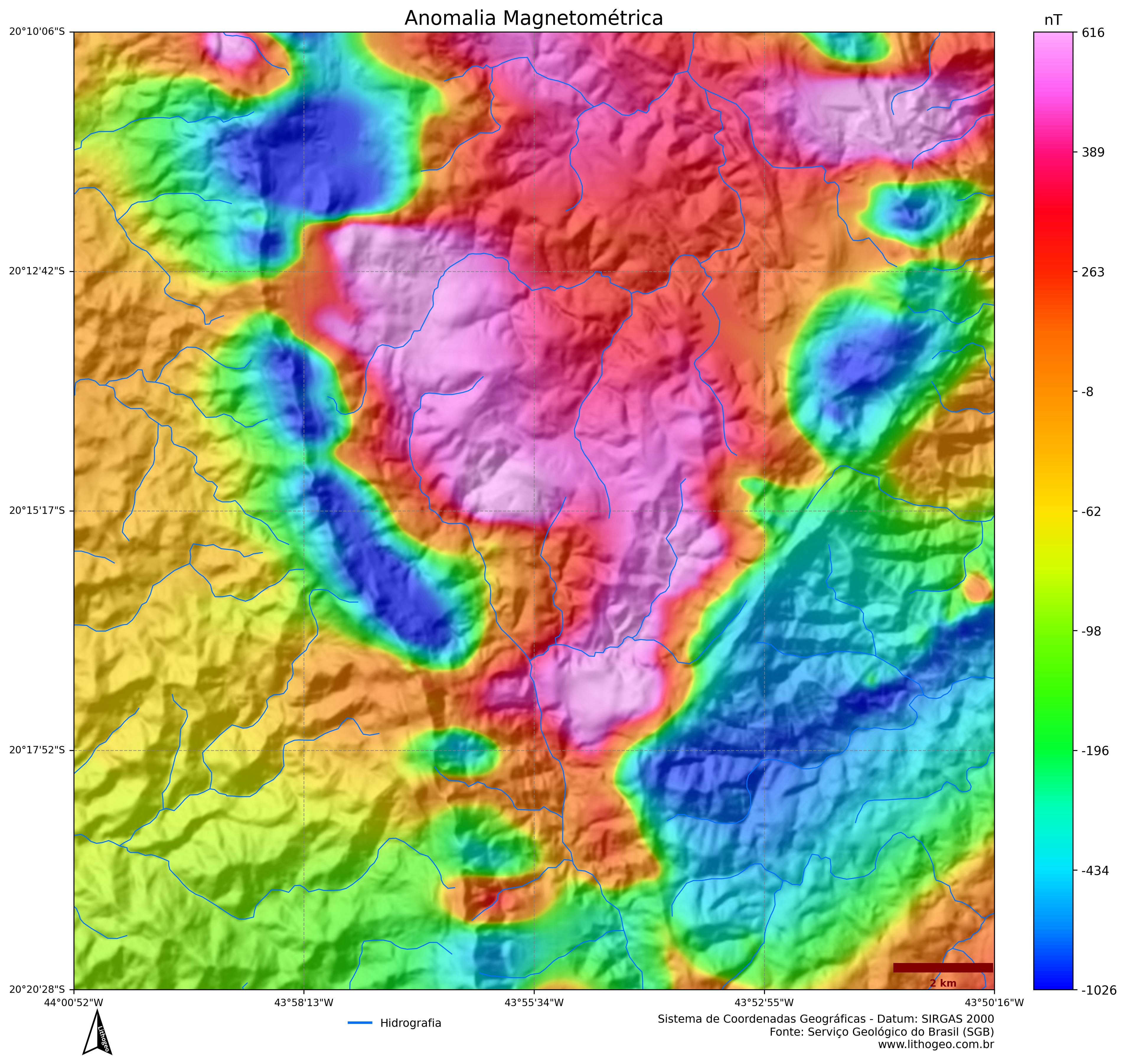
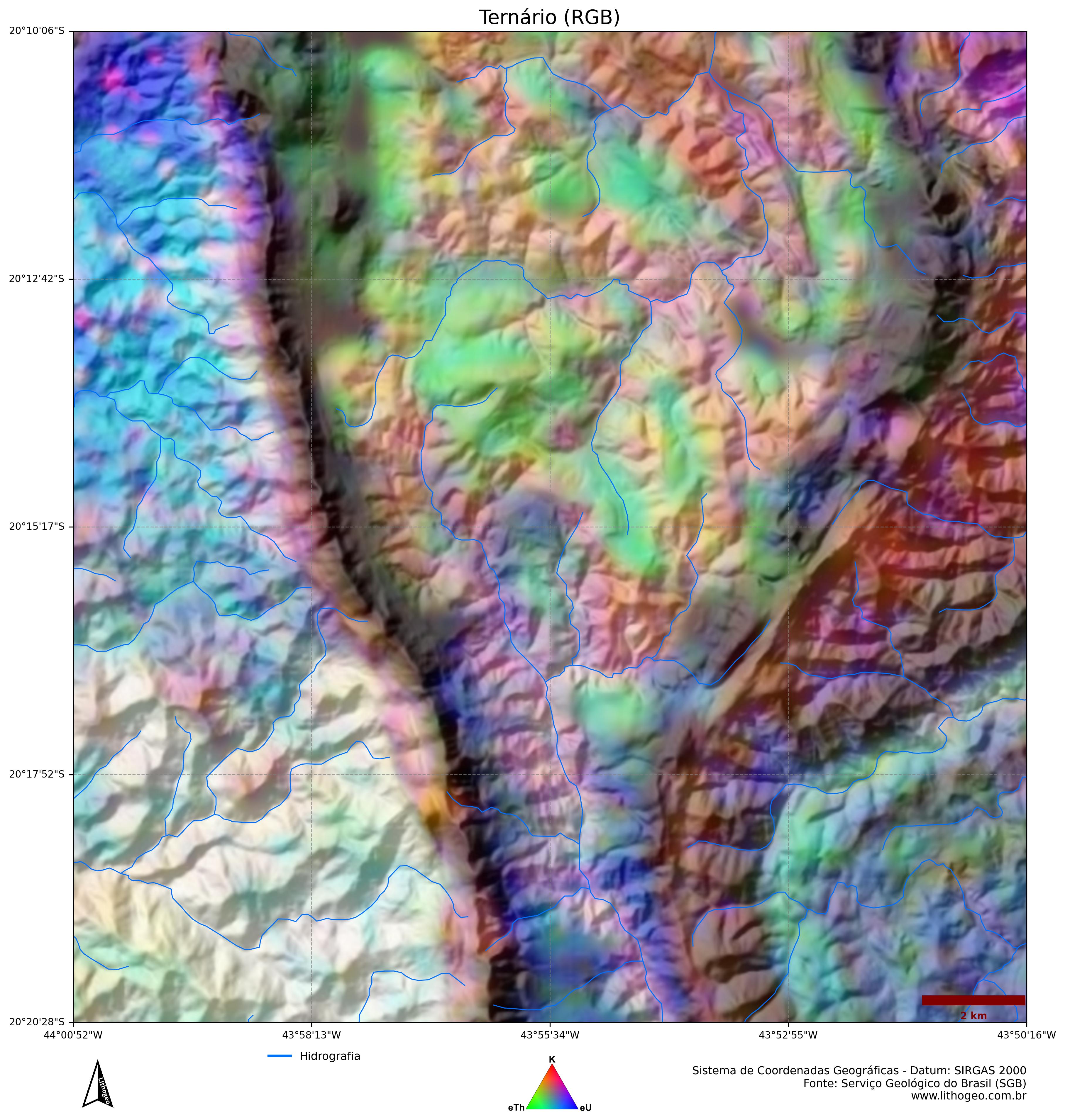
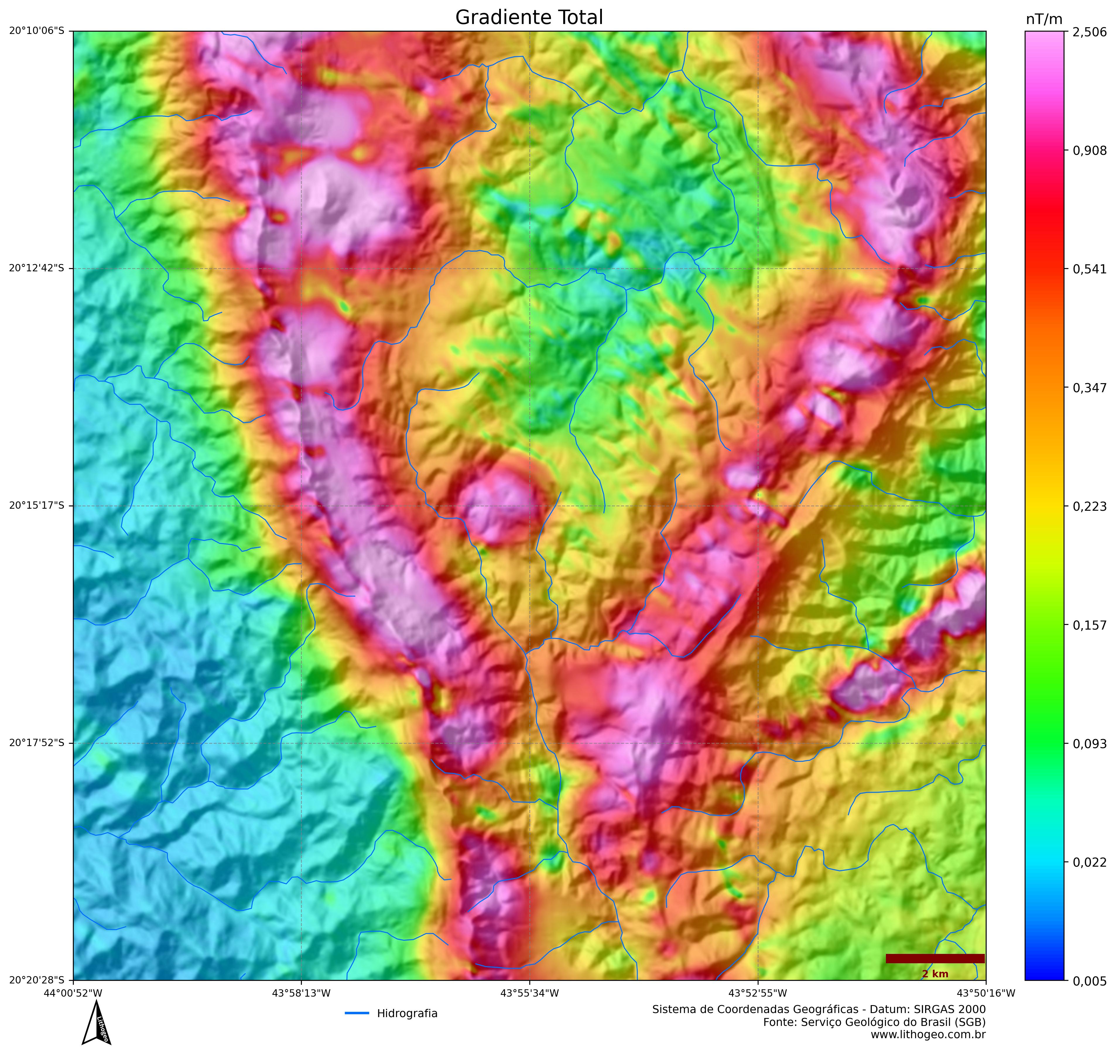
Magnetic Anomaly (TMI)
Ternary K · eTh · eU
Tilt Derivative / Analytic Signal
Raster layers (GeoTIFF/UTM)
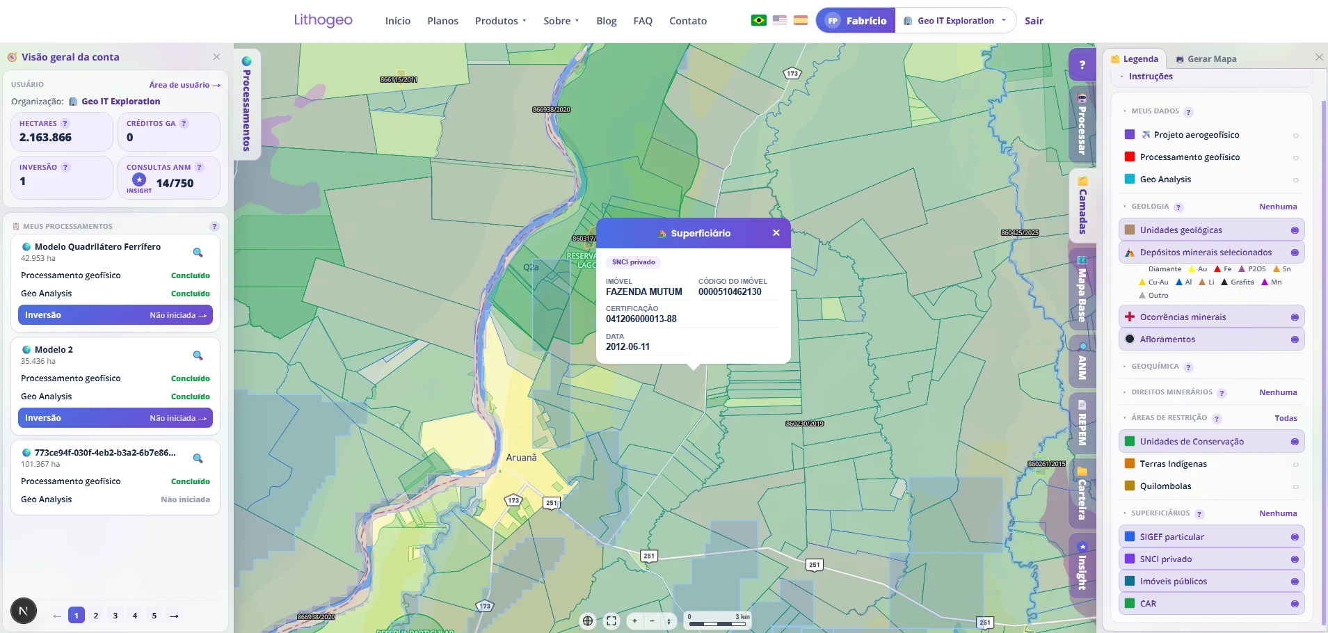
Integrated layers on the navigation map
Residual anomalous magnetic field — the basis for all structural interpretation.
What it is
Geophysical Processing automates the chain that used to require an Oasis Montaj specialist: micro-leveling, filters, derivatives and radiometric compositions are generated from public airborne geophysics data, already tied to the mineral claim polygon. You enter the ANM claim number and the platform does the rest.
💡 No software to install, no XYZ files to organize — just the ANM claim number.
What you get
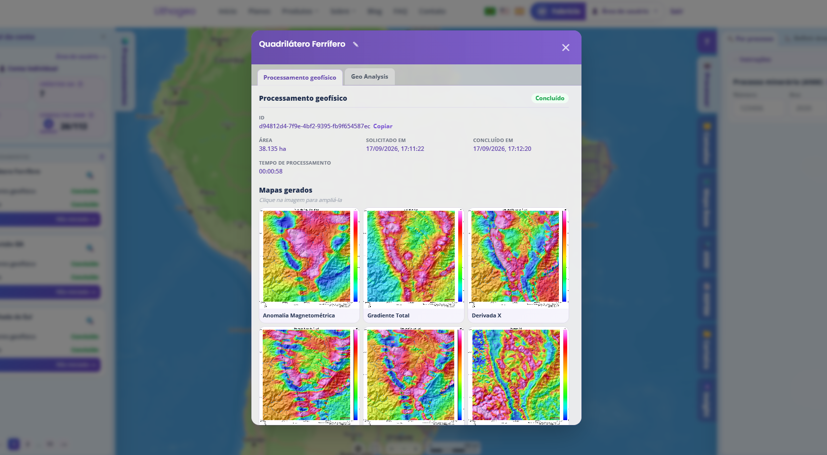
Examples of products generated by the processing.
Report-ready maps
Magnetic anomaly, ternary K·eTh·eU, Tilt Derivative, HGA, derivatives and relief, in high resolution.
Georeferenced raster layers
GeoTIFFs in UTM projection, ready for QGIS, ArcGIS and Oasis Montaj.
XYZ export
Grids and points in open format for reprocessing and integration into your workflows.
ANM integration
The area polygon is loaded automatically from the claim number.
How it works
Enter the claim
Type the mineral claim number (ANM) on the platform.
Automatic loading
The area polygon is loaded and the airborne geophysics data located.
Automatic processing
Filters, derivatives and compositions are generated with no manual step.
Maps and layers ready
Download the maps and georeferenced layers directly on the platform.
Processing plans
Processing is unlocked by your subscription quota (per hectare). Choose the plan that fits your area volume.